*You Get The Drift?

You get the drift?
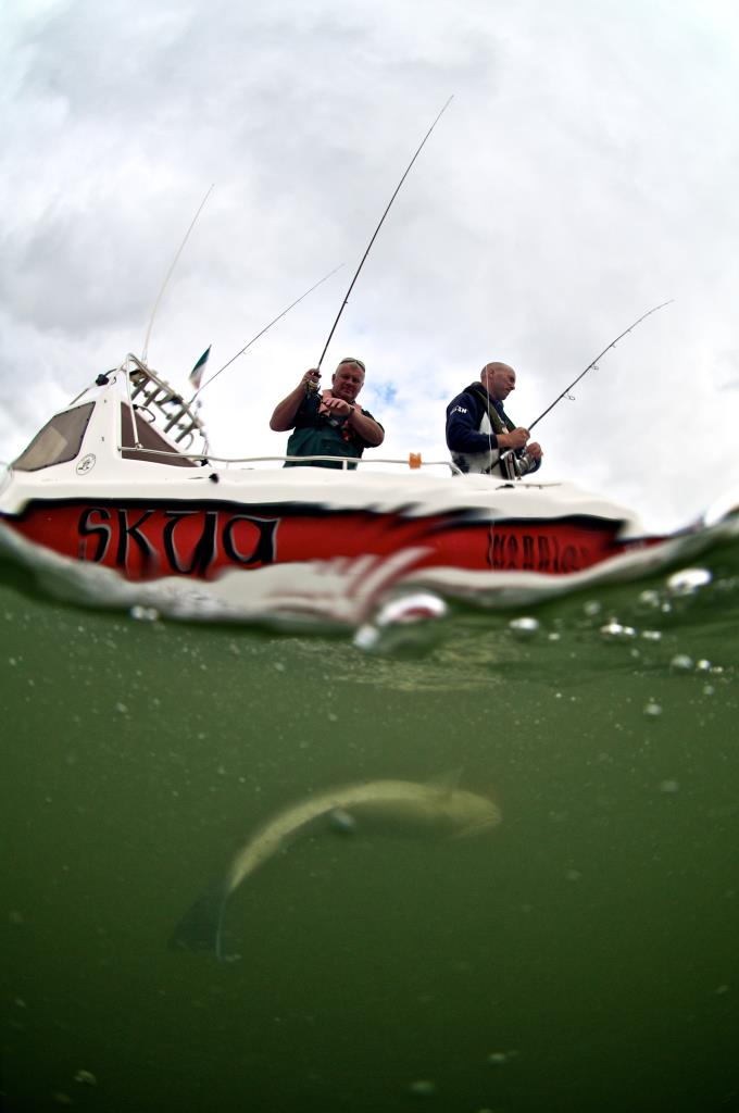
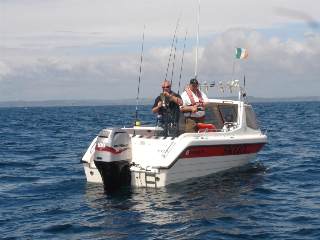
Boat angling can really be brought down to a few basic techniques. Either you are fishing at anchor or you are drifting if not fishing while under way. Everything else is just technicalities.
There are techniques within techniques. Many things for the skipper to master. Anchoring accurately is a science in itself; many would consider it a dark art! When you divide out time spent fishing there is a likelihood that time spent drift fishing will take up more time than all other methods.
Let’s face it drifting should be easier than setting an anchor. The amount of techniques and species that can be targeted is huge. The chances are that popular edible species are targeted while drifting. It makes an outing spent drifting the technique of choice of many.
Of course drifting is where we all start our small boat angling journey. You get yourself sorted with a boat and you launch and head out into the wild blue yonder – any fish will do. You stop and try to catch a few fish and invariably mackerel will be the first success. The feeling does not last too long and before long you want to capture some more exotic species like pollack or whiting!
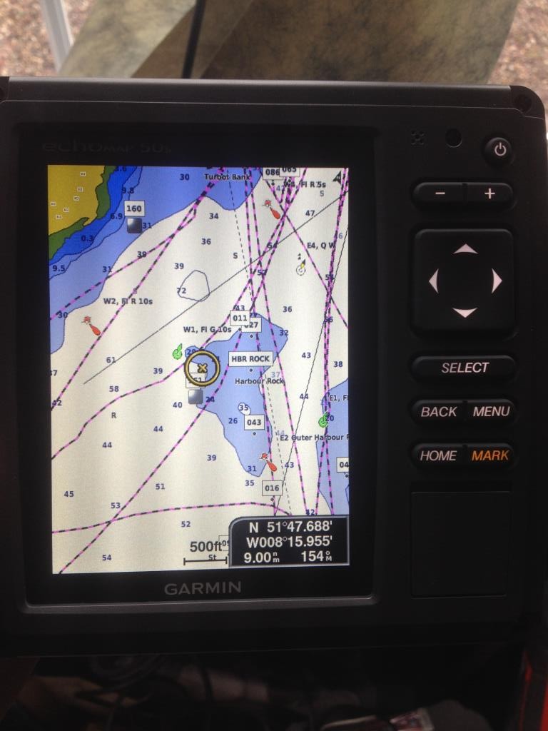
It is at this stage you realise that to be successful you are going to have to master the drift. To master the drift you need to be master of your GPS/Plotter. Of course having a grasp of land marks and tidal flow is great too but being able to use your GPS will allow you to achieve all that the canny old fisherman learned in a lifetime.
A GPS is a tool not just for getting you to a mark. Used correctly you will manage to catch more fish and do it more consistently. You will have to become a master of the drift!
When you punch that GOTO into you GPS and the course track appears on screen there is a certain feeling, a buzz. You are heading for your mark. Skippers will have differing settings at this stage. Settings like “course up”, “heading up”, “north up” are all really down to your preference. As I fish on a south facing coastline my preferred option is “heading up”. I use a standard plotter screen and I tear along the dotted line! I do not use the roadway screens nor the 3D views. I am simple in my settings.

Setting up a decent drift is important. Much depends on the mark we are visiting. For this first example we will say we are visiting a mark that is a perfect spot for a bit of scratching. A patch of broken ground if you will. Once we arrive to the mark it is a relatively simple task to get fishing. If my mark is the centre of a fishing area then I will head straight for the mark and will stop and fish for a while. At this stage I am gauging the drift. If the fishing is good I will continue the drift, if the fishing has been good and fades I will decide to “go around” I will position the boat on a similar line to the last drift in the hope of catch fish like I did on the last drift. If the fishing is low I may position the boat to port or to starboard of the previous line of drift in order to cover some different ground.
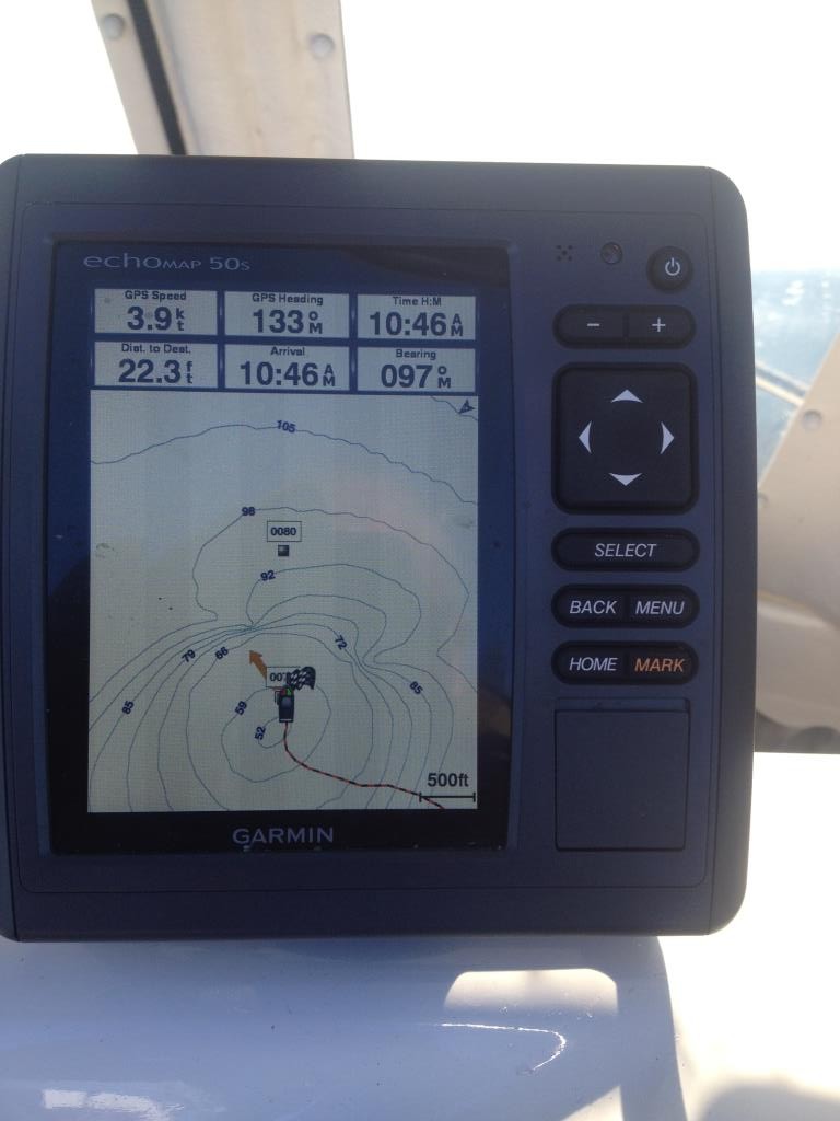
I will power up the boat and for accuracy I will zoom in on my screen. Maybe even bring the screen in to as much as 80′ (30m). At this stage you can see how a small positional shift will be registered on screen. I will tend to extend my drift a bit on the far side of the mark too. What are we doing? We are hoping to scratch around likely ground and we hope to hit some fish.
After your second drift you begin to see the result of your handiwork on screen. If your drift was accurate you will see a few fairly parallel lines on your screen. If you got it wrong you will see two lines that bear no relation to each other!
It is simple really. Power up the boat and drive back up the course of you drift. Extend the drift a little further if you managed to catch some fish on your last drift. After a few drifts the plotter should look very organised with a lot of nicely drawn parallel lines. For an experienced skipper Thais is old hat stuff. For the less experienced skipper it is a more daunting prospect and one that will take a bit of practice to get right. Practice makes perfect.
We have all been on the charter boat where the skipper decided to go on a two mile drift! Maybe it is a good plan if there are no fish being caught. As soon as I am catching fish I am thinking about going around on my drift. As soon as the fishing goes slack I am gunning the engine and heading around. Aimless drifting cracks me up and I think it wastes fishing time.
You need to remember the factors that go into providing drift. As these factors change so does the drift. You wouldn’t be the first skipper to see they’re beautifully planned drifts going astray. Drift is effected by the wind and tide. Depending on your location either wind or tide is going to be the most important factor determining your drift. You need to know which is going to be most important on any given day.

Let’s take my normal fishing to give an example on how wind and tide effect drifting. Firstly, inside harbours the tide is going to be the most important factor in areas like channels and banks. Outside on the open sea the wind will have a large effect if it blows and wind will usually win out over tide easily. The effect of tide will be seen when you try to line up that perfect drift and you notice that you are being dragged slightly off your line. As the tide eases of course the effect is less pronounced. If the tide was acting in one direction on the flood it will usually in the opposite direction on the ebb. The effect of wind and tide against each other is interesting when drifting. Sometimes in harbour tide rips the wind can hold up your drift to such an extent as to make fishing difficult if not impossible. You begin to realise that there is lots to be considered if you are going to fish a particular area.
Apart from wind against tide tending to make conditions a little rougher you can also see the effect slowing or speeding up drift.
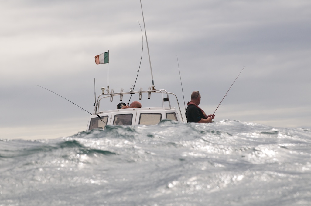
When you are fishing a particular feature you will need to need to get to the mark. locate your feature and be able to accurately drift the mark. I am really thinking small reefs or wrecks here. Again I will motor to my GPS position and will identify the high point with the use of of my sounder. I will then start my drift on this high point. After a period I will be able to see the drift that has been plotted on the GPS. At this stage I can reposition to take in the most favourable part of the wreck or reef. Again, as soon as fishing fades I will motor around and begin again. Rarely, but the odd time I will take a “winger” and drift off the wreck or reef to see if there is anything about but usually I am a short drift skipper. It is these short drifts that can make the difference in terms of catch. You are keeping your lures in the action areas for longer.
As the tide eases or strengthens the drift will be slightly altered and you will have to adjust your starting position accordingly.
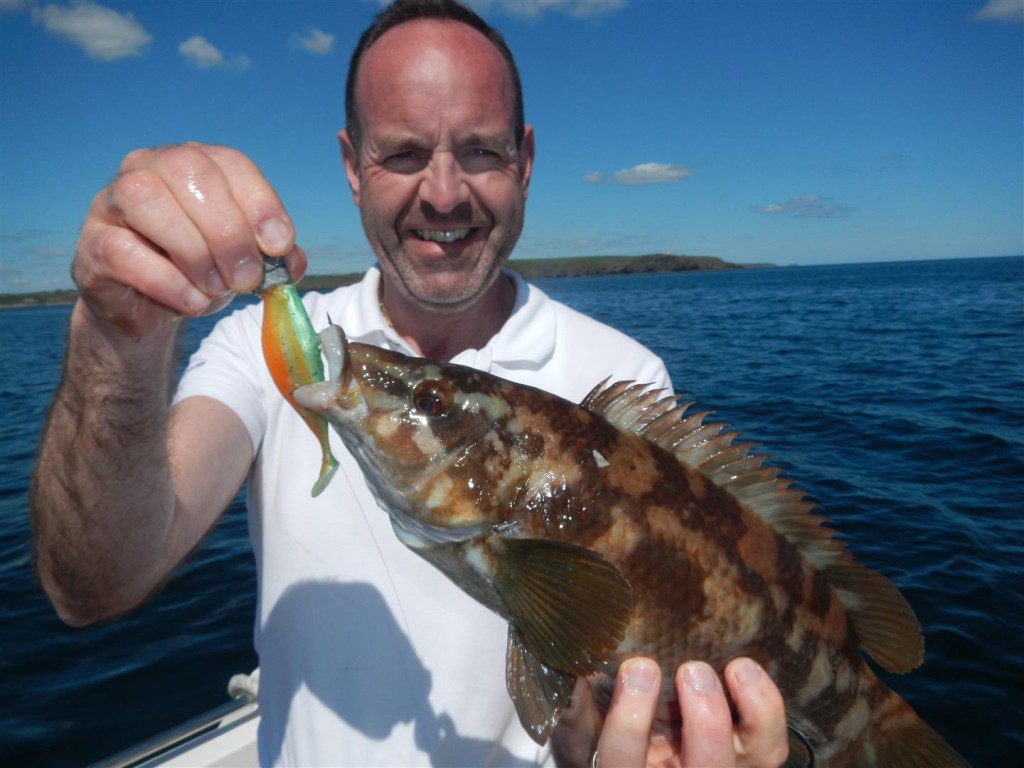
For experienced skippers getting the drift right is second nature. For learning skippers the importance of accurate drifting can take time to learn and time to learn the importance of accurate drifting. As a small boat skipper it can be rewarding in terms of water craft and not just catching fish.
You can save yourself time and effort if you are aware of the tide and drift. For example in areas of Cork Harbour you will not be able to drift fish the flood tide if the wind is from the north. Similarly you will not be able to fish the ebb in a southerly wind. it is important tone aware of these conditions and save yourself a wasted trip fishing a drift that will not just work.
Plotters have come on in leaps and bounds in recent years. Rather than being a simple beast that drew lines on a chart you will find that you can decide on the colour and thickness of lines in order to contrast better on screen. It is now easier to determine a course line and a track line.
You can save different tracks of differing colours and display them or not on screen.
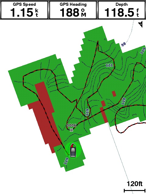
Many combination units (GPS/Sounder) will also draw a new chart on based on the information coming from your unit. Garmin’s “Quickdraw” comes installed on all new units. It is downloadable to many units such as my Echomap50s. Having used it recently it is rather fascinating and a useful feature. So much soI may get a second transducer for my Warrior 175.
Of course most units will allow you to import your saved track into Google Earth or on to your -can via software (Garmin use Homeport or Mapsource). This allows you to analyse your fishing and lets you see the drifting you did during your trip.
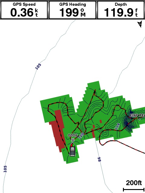
It is important to practice and familiarise yourself with the capabilities of your unit. Many features will take a bit of learning and a degree of experimentation to get the most out of new features. There is help online so you are not let to your own devices!
